 PondBase
PondBase
PondBase
Drop pins on rock piles, roadbeds, and brush piles. Build a living map of your pond that gets more useful every season.
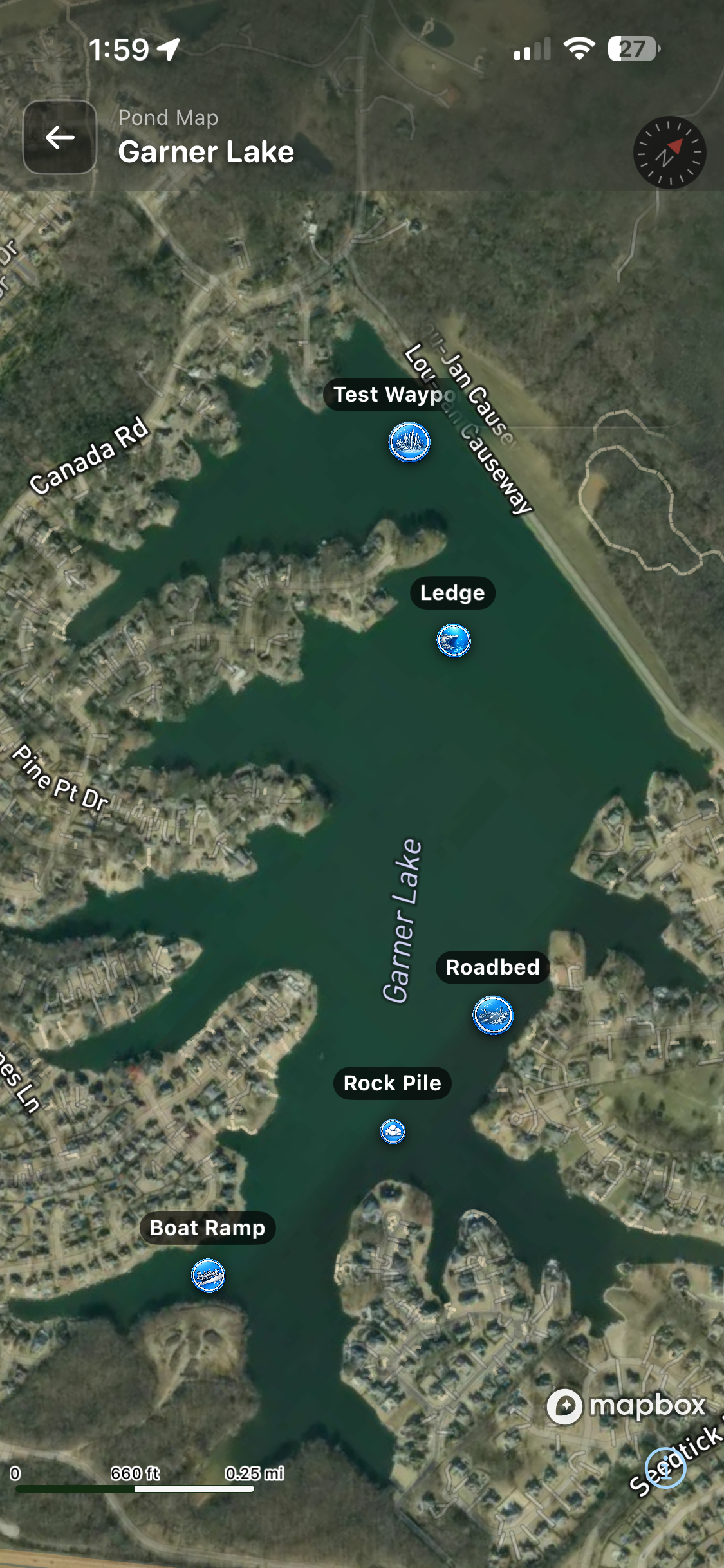


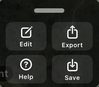
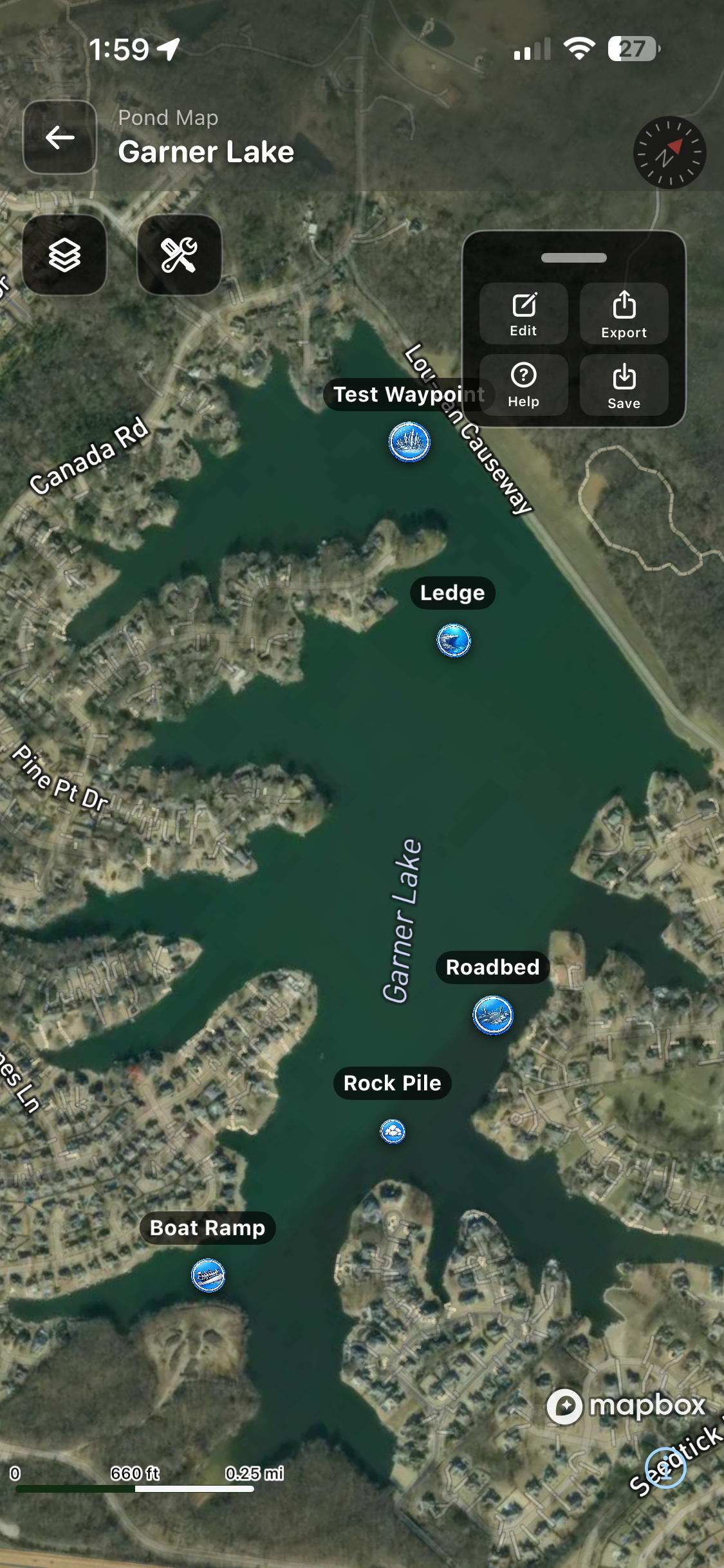
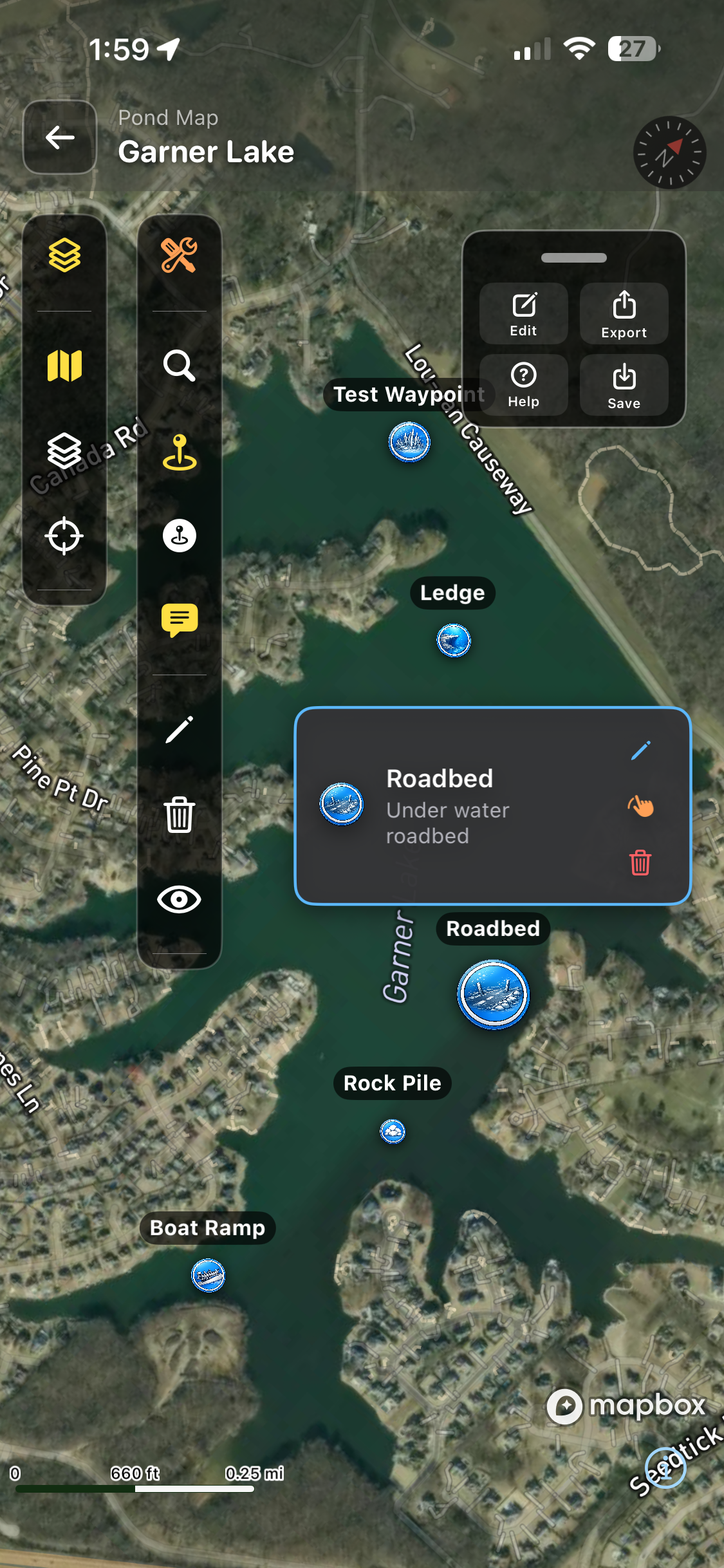
PondBase's interactive map lets you drop custom waypoints anywhere on your pond — rock piles, brush piles, roadbeds, ledges, boat ramps, and more — each with its own icon and notes. Search for any location, switch between satellite and topographic layers, and drag markers to fine-tune their position as you learn your water better.
A pond looks different from a boat than it does from shore, and structure that matters — a submerged roadbed, a rock pile at the drop-off — isn't always visible from the surface. PondBase lets you record exactly where that structure is once, then find it again instantly on every future trip, season after season.
Mark rock piles, brush piles, roadbeds, ledges, and more with icons that make sense at a glance.
Switch map styles to see your pond the way that's most useful for the moment — satellite imagery or topographic detail.
Sketch lines and add text labels directly on the map to record zones, boundaries, or notes for later.
Save a snapshot of your pond map to share with a fishing partner or pond manager.